![]() 20 D+
20 D+![]() 0,6 miles
0,6 miles![]() 00h45
00h45
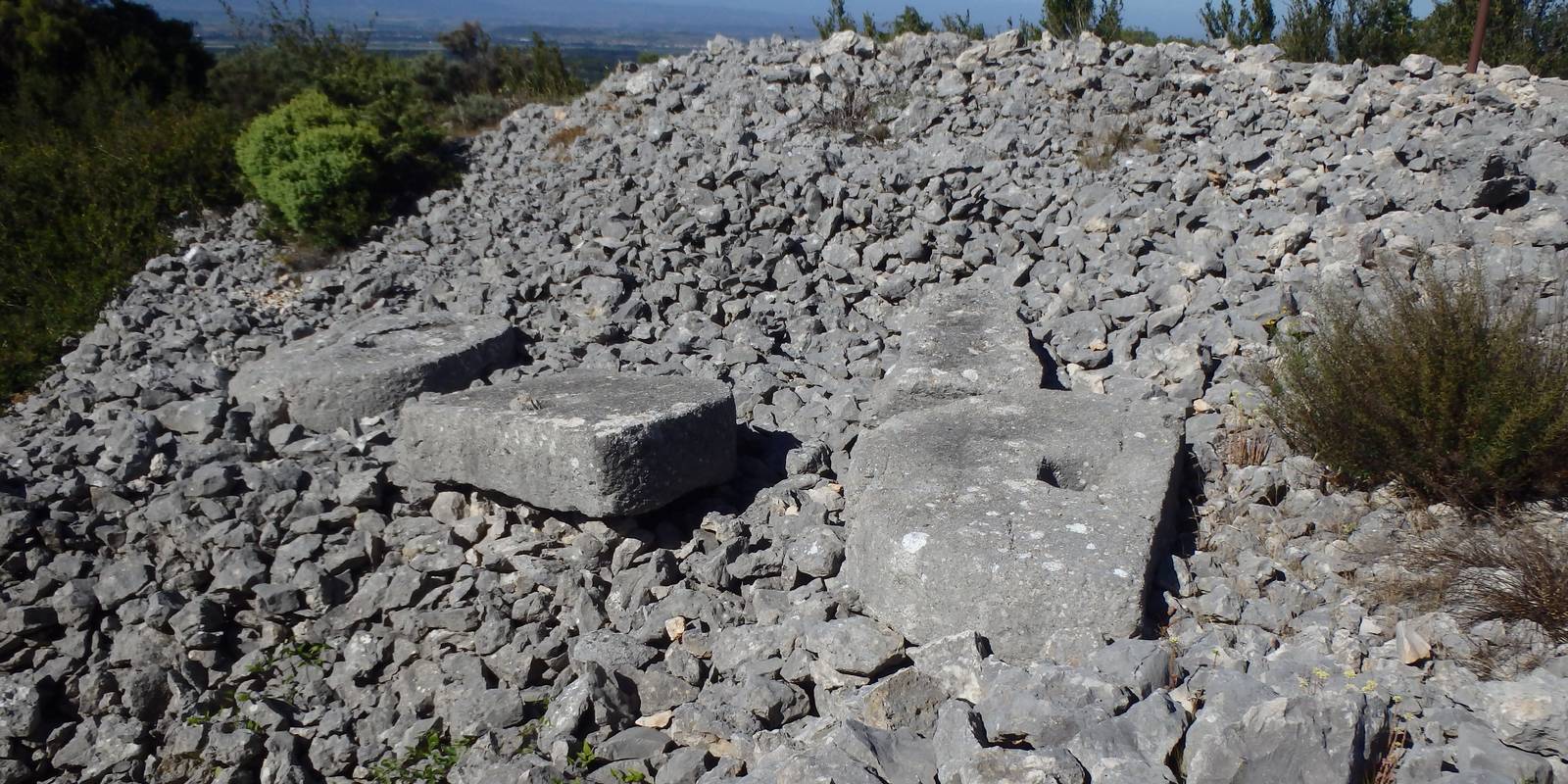
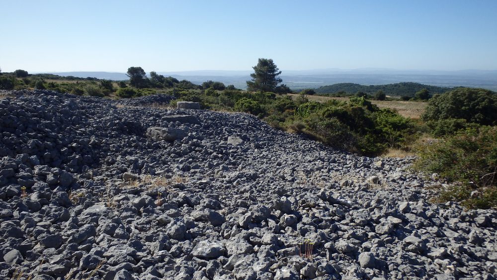
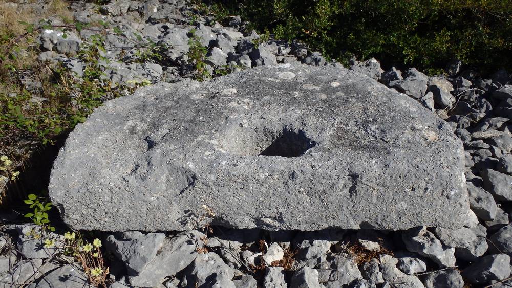
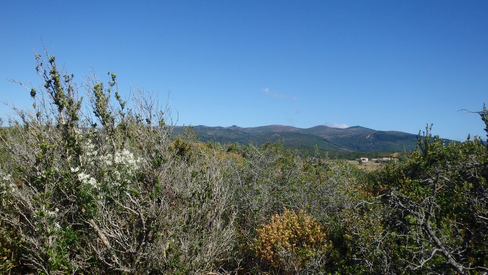
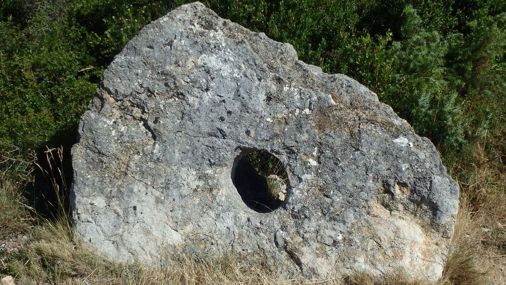
The Meulières trail is 1kilometre (0,6miles) long and allows you to discover the archaeological site through eleven stations and belvederes offering magnificent views of the Montagne Noire and the Minervois, right up to the Pyrenees.It can be walked freely throughout the year or on guided tours during the summer season. It is suitable for pushchairs.
Interpretation points map :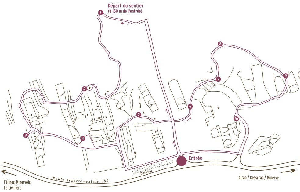
Further along the road you can stop at the Causse orientation table :

Then, to the Lauriole's curiosity.
![]() With your car, from the village, take the direction of Ferrals les Montagnes. Before the village of St Jean, on the right, follow the direction "Sentier des Meulières".
With your car, from the village, take the direction of Ferrals les Montagnes. Before the village of St Jean, on the right, follow the direction "Sentier des Meulières".


