")
")

Distance: 10km (6.2miles)
Difficulty: Red - Difficilult
Positive altitude difference: 420m
Start: Roquebrun - Tourist office, avenue des orangers. Car park.
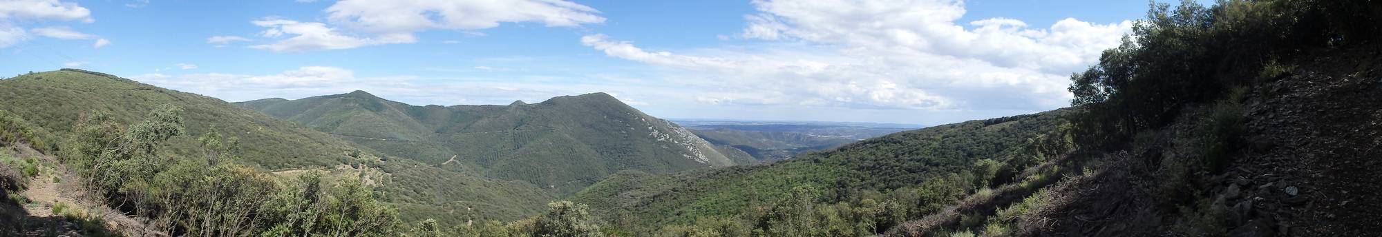
Description: The departure is by the road to Laurenque (directional sign on the left after the town hall). Small and little used, it rises regularly. Once in Laurenque, you can walk through the narrow streets. After Aupenac, the path rises steeply and becomes more technical. From time to time, the slope becomes gentler and allows you to breathe. After a while, the Prioun pass, the high point of the loop, is in sight. Let's go for 5 kilometres of a very playful path, with some tricky passages but nothing more. In the middle of the descent, you pass by a caterpillar, then again under the holm oaks to the top of Garrigas. There is a nice view over the village. This last section crosses a hiking trail. The last few hairpin bends bring you back to your starting point.
Disover on the way:
- Mediteranean garden.
- Roquebrun (smal streets, mills, fountains...).
- Roquebrun's wine (cooperative cellar and harvesters' cellars).
- Hamlet of Laurenque.